A UK Space Agency funded International Partnership Project
A Service Concept
A Service Concept
DISCLAIMER: To comply with my non-disclosure agreement, I have omitted confidential information when writing and sharing this case study. All information is my own and reflects neither the views of the Celerik nor the Catapult Team.
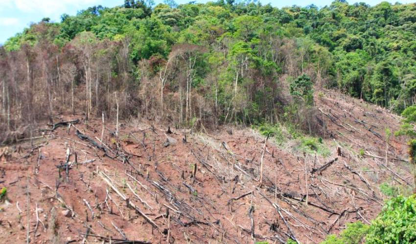
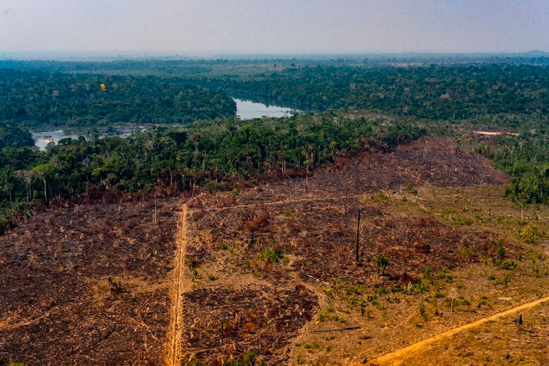
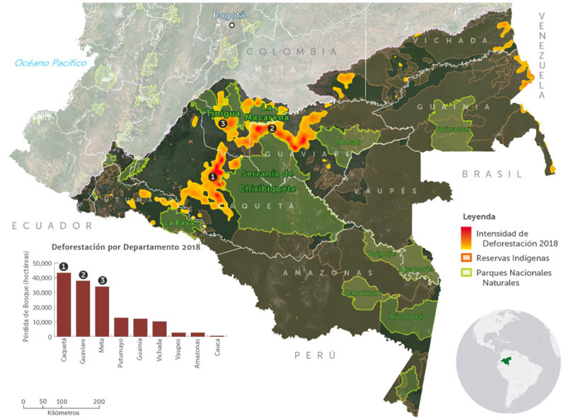
Designing and developing a system that could analyse free satellite data with specially trained machine learning algorithms to increase the ability of government agencies to identify, and prioritise for investigation, potential deforestation causes across Colombia.
UK Space Agency
2018
Design and build a system to enable satellite technology to increase the capability of detection and monitoring of deforestation in Colombia.
I worked closely with the Catapult Design Lead and Technical Lead, and a fellow designer to uncover user needs and come up with a service concept to meet them.
We took a Human Centred Design approach to ensure that our solution design was based on an in depth understanding of our users needs.

Tools, artifacts and methodologies to deliver the task at hand.
We conducted user interviews, and mapped out observations to understand existing processes and challenges.
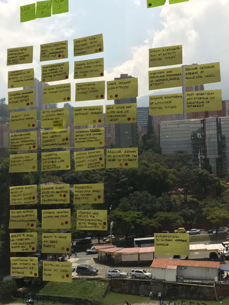
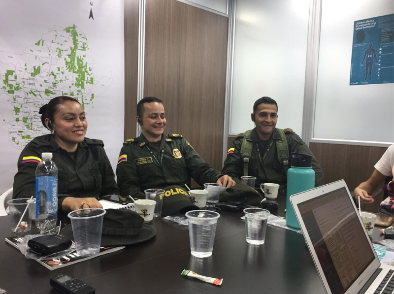
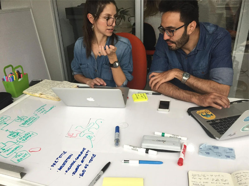
We analysed and synthesised all the observations and information gathered from stakeholders to identify opportunities and develop ideas. It gave us an overview of what different users will be doing with the system (use cases).
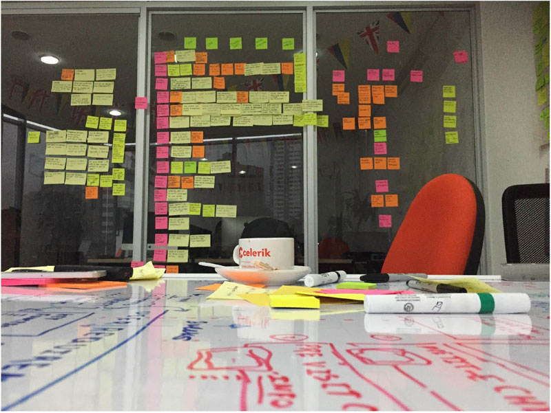
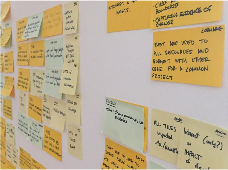
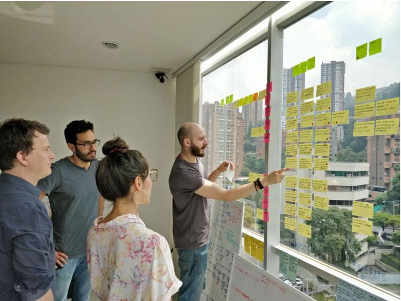
A prioritised description of what the system must do to meet the users needs.
I visited the Catapult facilities to gain a broader understanding of Satellite Technology capabilities in order to understand the possibilities and technical constraints before sketching or designing service concept solutions.
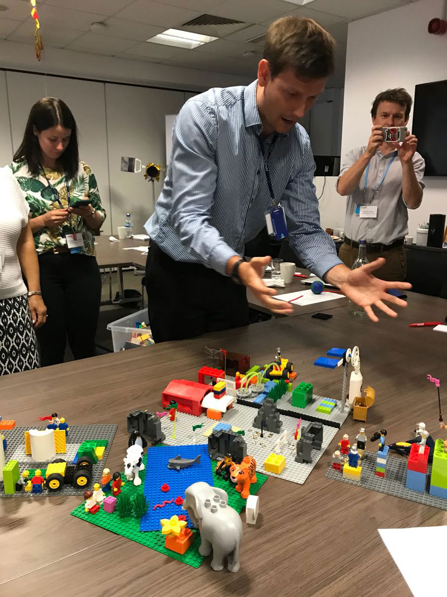
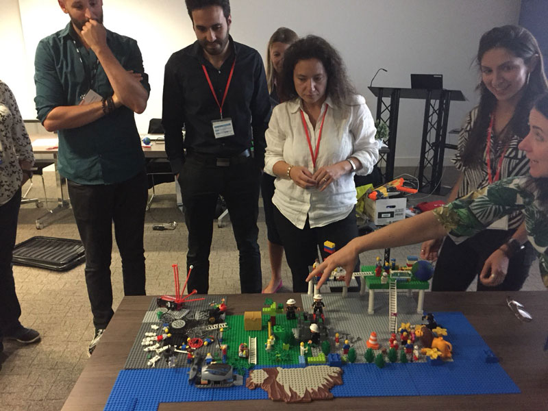
Co-designed alongside the technical team early service concept sketches to quickly validate ideas.
Designed the wireframes and workflows to help stakeholders visualise the features and functionality of the system concept and how the system will enable the users to carry out key tasks.
Each task had been split into a workflow that explained how they would be achieved using the wireframes for context. These workflows were a critical tool for explaining the system concept to users as means of giving them a good appreciation of the benefits of the system and how they would interact with it.
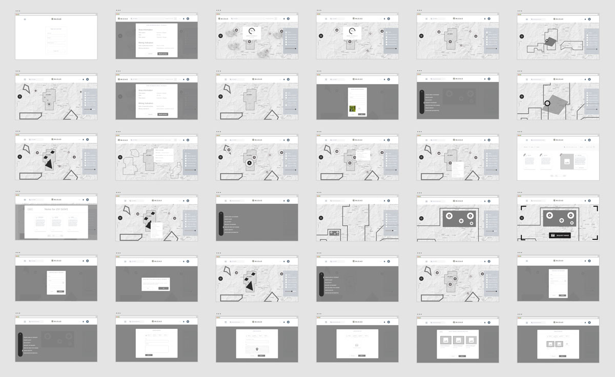
Once the wireframes and workflows were validated with key users and stakeholders, we started the visual design process to enhance the service overall usability and desirability.
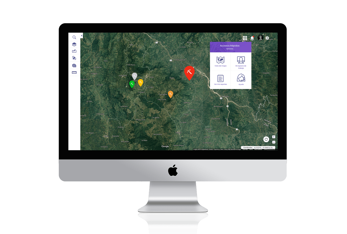
The service combines and consolidates a variety of previously disparate geolocation datasets to enable cross organisational working and in-depth analysis.
It also enables easy detection of deforestation probability and indicators.
Ongoing monitoring of areas of interest by customizing and selecting specific regions or areas on the satellite view map.
High resolution satellite imagery can also be accessed through the system to enable better operational planning, evidence gathering, and ongoing monitoring across the region.
Enabling users to share notes, locations, and alerts across different organisations. This encourages more efficient collaboration and a more effective fight against causes of deforestation.
Thank you for taking the time to learn more about this case.